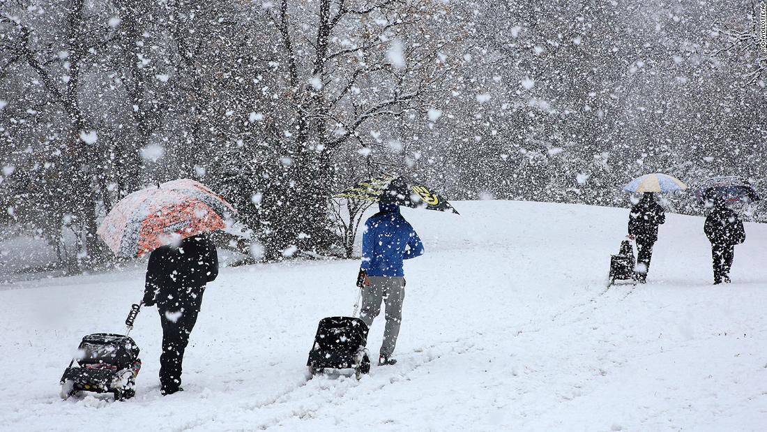
For example, Amarillo, Texas, had more than 15 inches of snow – surpassing Green Bay, Wisconsin, which had 11, as well as Chicago and Grand Rapids, Michigan, with about 9 inches each.
When calculating snowfall, the 2020-21 winter season is defined as July 1, 2020 to June 30, 2021.
San Angelo, Texas, had 5.8 inches, which is more than Cincinnati (3.1 inches), Indianapolis (5.4 inches) and Louisville, Kentucky (3.5 inches).
Shreveport, Louisiana, was more than 3 inches, which is more than Washington, DC and St. Louis.
The science behind this change in snowfall is simple. In addition to the milder temperatures in the northern part of the country, there has not been a large flow of amplified jet this year – and both factors are limiting snow systems from moving through the region. Therefore, we had a storm trail further south, which brought more snow to some southern locations.
Polar Vortex missing
Since January 1, much of the Midwest and Northeast – including Minneapolis, Chicago, Cleveland and Buffalo – have air temperatures of at least 5 to 10 degrees above average. This may not seem like much, but it is enough to make the difference between rain and snow.
“In addition, several snow events in Milwaukee this year showed lower than average snow-to-liquid ratios due to the higher temperatures, so the rainfall that fell did not produce as much snow as it could,” said Andy Boxell, the weather forecaster. time at the National Weather Service in Milwaukee.
Statistically, January is the coldest month for Milwaukee, Chicago, Minneapolis, Cincinnati and many midwestern cities. What is missing is a cold wave from the polar vortex.
It does not look like the sturdy cold air will arrive anytime soon.
NOAA’s one-month forecast shows temperatures warmer than average in much of the country.
Even without extremely low temperatures, some northern cities have a chance of snow this weekend.
Snow is on its way
Winter weather alerts are in effect for more than half a dozen Midwestern states on Saturday, in preparation for heavy snowfalls. Several systems will be moved around the region in the coming days.
Still, the approaching snow may not be enough to bring them back to normal.
“As for making up for the deficit in Milwaukee, a few inches are possible on Saturday night and Sunday morning,” says Boxell. “Monday’s system can also bring some snow, although for now it looks like the heavier quantities will be closer to the Chicago area. At this point, we will probably need several systems in a short time to make up the difference. . ”
From Madison, Wisconsin to Milwaukee, the forecast is 5 to 10 cm by Monday.
Chicago, Green Bay and Des Moines, Iowa, are forecast to increase by 2.5 to 5 centimeters this weekend.
