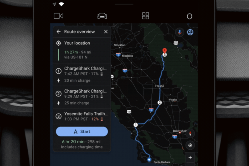
Cars with integrated Google Maps are getting some more features that should make travel planning at recharge points easier. Google is using graphics theory in its latest routing algorithms to help you determine the best way to reach your destination. If your trip requires more than one recharge stop, Maps will scan thousands of public charging stations to find the most efficient route in less than ten seconds, says Google. The application will record how long it will take to recharge your EV at each stop, as well as the total time of the trip, including recharge.
For shorter trips that require only one stop, Maps will display a list of charging stations. You can choose a location where you can recharge your EV as quickly or one where you are a member. You can see what amenities are nearby if you want to buy groceries or coffee while you wait.
